Westport Full-Marathon
Point-by-Point Route Description
The 2024 course will be professionally measured and accurate on the day
FULL MARATHON START TIME – 8.00am ( subject to change )
The marathon route begins at The stone wall car park beside the pond at Westport Quay, past the soccer pitch in the carpark. The route will be marked with RED KM markers and directional markers for competitors, with markers every 5km. There will be additional markers every km from 17km to 24km to mark the outer limits of the course along the R335. There will also be RED road paint markings for each KM. Busy junctions and other key areas will be marshalled. Measures will be in place to assist with traffic management on the day. There will also be water stations, rubbish drop points and toilets located around the course.
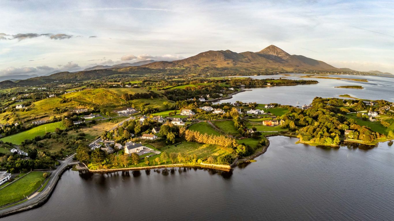
From the start, runners will run towards Westport Quay before turning right around the Helm pub junction and continuing towards a left turn at the Quay school and entering onto the old Westport railway walk (1km). A slight drag along parts of the Railway walk, running towards Westport town until a right turn before the low bridge after the (2k) mark. Turn right after 50m onto the walkway running adjacent to the R335 Louisburgh Road. With great views out to Croagh Patrick, run along the walkway, past the marshalled junction at Ardmore and Cloghan.
Continuing out past Murrisk, the route continues along the main road (R335) towards Louisburgh at approx 19.5km mark, passing through the village of Lecanvey (21k) and always running along the right hand side of the road. This section of the route is on open public road, so beware of oncoming traffic. Running through Lecanvey please use the small section of public footpath around the bend. Passing out of the village, you will enjoy further fabulous views of Clew Bay to your right.
Follow along the R335, running on the right side of the road. You will pass the 25k mark at a junction before crossing the main road about 600m later onto the L5883 (26k). Turn left just after the (26k) mark, onto the L5883. You are now running back towards Westport.
From this point, run on the right hand side of the road back to Lecanvey (30.5k), turning right off the main road onto the L18331 (31k) in Lecanvey village just before the church. Follow the L18331 until you rejoin the main road (R335) at approx (31.5k). Continue along the right hand side of the road, before crossing the main road (marshalled) just after the (32k) mark to rejoin the Greenway before Murrisk.
You route now retraces your steps from the Greenway at Murrisk Demesne (34k marker) back to Belclare junction (39k marker). You will meet outward bound runners on the half-marathon on this section of the course so it is essential that you stay to the right-hand side of the cycleway between Murrisk village and Belclare junction when passing oncoming runners. Turn left at Belclare Junction onto the L1801 towards Westport Quay. A full road closure will be in operation here so please use the width of the road.
The route continues along the L1801 back towards the Quay School. You will pass the Quay school again at the 41.5k mark, this time keeping to the left of the road and towards the finish. Turn left at the Towers pub, down the slip road to Westport Quay. The finish line is 50m further down the slip road.
* Specific location of Start line will be determined during professional course measuring. Otherwise the course is accurate.

