WESTPORT HALF MARATHON
HALF COURSE REMINDER
The amendments made to the course last year remain in place this year, with the added loop of the Skate park between the 2k & 3k mark (where a short 50m contra-flow is in operation), and the turnaround area at Murrisk apartments (12km), where you will turn in through the main gate of the Murrisk apartments, and follow the flow of cones through the car park area before rejoining the Greenway back of the apartments, turning right and returning to Westport.
Point-by-Point Route Description
HALF MARATHON
Start time: 12PM
Please note route and start time are subject to change
Please Note: The website route map distance may be slightly inaccurate but the course has been professionally measured and will be accurate on the day
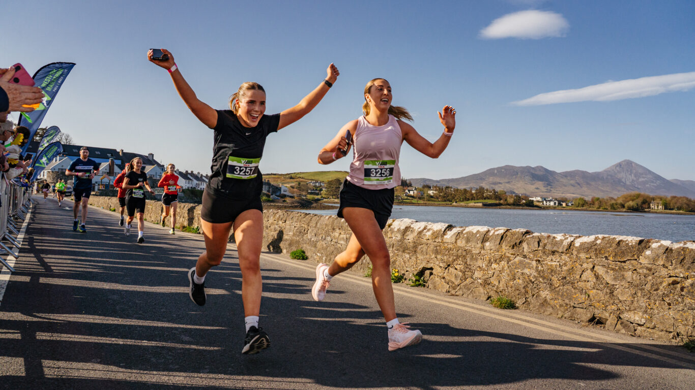
The route starts at Westport Quay beside the soccer pitch at the end of Roman Island (see route map), with beautiful views over Clew Bay and the surrounding area. It finishes on the Towers slip road, adjacent to the car park on the fringe of Clew Bay itself. The route will be marked with GREEN KM markers every 5km and directional markers for competitors. There will also be GREEN road paint markers for every km. Busy junctions and other key areas will be marshalled.
Water stations will be available at the 5k marker (Belclare Junction), 10k approx (Murrisk Demesne), and again at the 18k mark (Belclare Junction). Toilets and rubbish zones will be placed around the course also (see route map). The route is primarily flat, with a total overall elevation of 189m spread over 37% of the route. The remaining 63% is flat or slightly downhill.
From the Start Line at the end of Roman Island competitors run up towards Westport Quay around the pond, turning right at the Helm junction and running down past the Towers Bar to a left turn onto the Westport Railway walk at the Quay school, where you’ll hit the (1k) marker. This walk is open to the public but will be cleared by bike marshals in front of the runners. A slight drag along parts of the Railway walk, running towards Westport town. Approaching the low bridge before the skate park, keep to the LEFT HAND SIDE as you pass under the bridge. A short contra-flow (50m) is in place here. Continue to complete the short loop of the skate park, following directional signage and the directions of the marshals. You will pass back under the low bridge, KEEPING LEFT again and slow down to take the 90-degree angle turn to rejoin the Greenway route. Turn right after 50m onto the walkway running adjacent to the R335 Louisburgh Road. With great views out to Croagh Patrick, run along the walkway, past the marshalled junction at Ardmore.
Be sure to follow the indented path around Aughavale Cemetery, before continuing straight ahead just beyond the 5km marker at the turning point for the 10km event at the marshalled Belclare Junction. There is a narrow section of the route at Gannon’s garage between the 5k and 6k markers. A stop go system will be in place here for traffic and to enable contra flow of runners. Please follow the directional arrows and marshal instructions. The next section of the route is an out-and-back, following the cycleway/Greenway for the next approx 5.5km to the new turn area in Murrisk (12k) just beyond the Croagh Patrick car park. This part of the route offers stunning views as you run along the coast road along a new stretch of Greenway, with the islands of Clew Bay to your right, and the imposing Croagh Patrick to your left.
N.B.** The section of the route between Belclare Junction and Murrisk village is the out-and-back section of the course, so please be aware of runners coming towards you. All runners must stick to the RIGHT HAND SIDE of the cycle/walking path in both directions when meeting oncoming runners.
As you enter Murrisk village, a further Stop/Go traffic management system will be in place, please follow the signage and instructions of the traffic management professionals. Just beyond the 10k mark, you will turn right to enter into the Famine Memorial Park, then continue around Murrisk Demesne, with spectacular coastal views on offer during this stretch.
Exiting the Famine Memorial Park, you will continue along the Greenway, keeping right, and take the turn into the Murrisk apartments. Look out for signs and marshals guiding you to the new turn off BEFORE the narrow wooden bridge behind the apartments. This area will be marshalled to guide you around this new route section through the car park of Murrisk apartment. Exiting the main gate of the apartments, you will rejoin the Greenway, again keeping to the RIGHT-HAND SIDE and following your route back towards Westport along the Greenway.
Stay to the RIGHT HAND SIDE of the path when meeting oncoming runners, before turning left at the marshalled junction (Belclare) just beyond the 18km mark onto the L1801. You are now running slightly downhill back towards Westport Quay. A road closure (local traffic only) is in place along the L1801 from Belclare Junction (18k) to the Ardmore Junction close to the finish line (20.5k). Please stay to the LEFT of the road as there will be access to local traffic only. Running downhill, you will pass the Bus Eireann/Quay School junction again, keeping to the left hand side of the road, before running back towards the Towers bar. Turn left down the slip road at the Towers, before heading down the last stretch to the finish line 100m ahead.